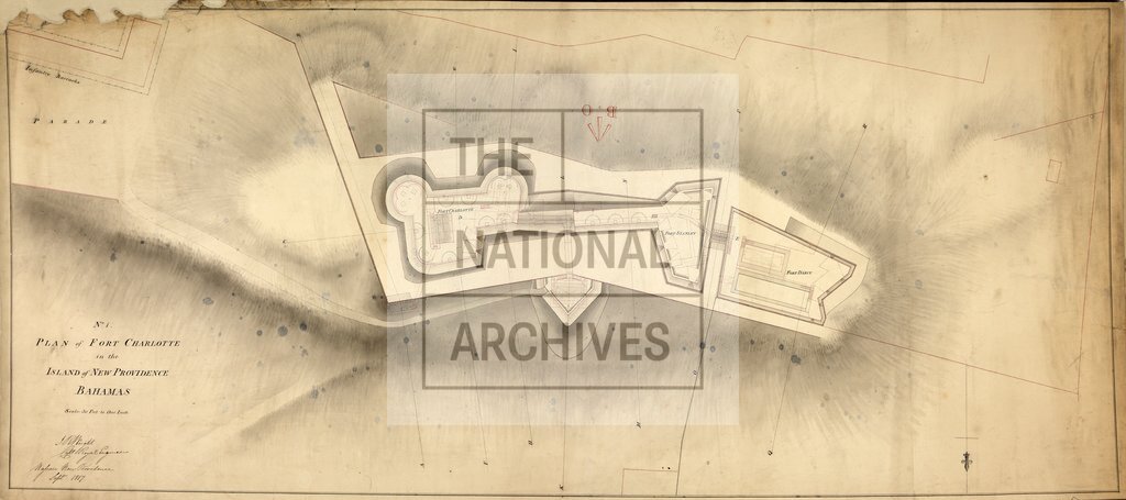
Fort Charlotte Bahamas
Date:
1817
Reference:
MR 1/477 (3)
Creator:
Maps and plans extracted to rolled storage from records of various departments
Catalogue context:
Three maps and drawings of the Bahamas. Detailed descriptions are given at item level.
Categories:
Maps and plans
Subjects:
Archives and libraries; Caribbean; Maps and plans
Topics:
International trade and affairs; Land and buildings
Period:
Empire And Industry
Copyright information:
Copyright clearance for publication is not required, except in the case of documents in third-party copyright.
Usage terms:
https://www.nationalarchives.gov.uk/documents/information-management/use-of-tna-materials.pdf