Northern South America, late 18th century
Date:
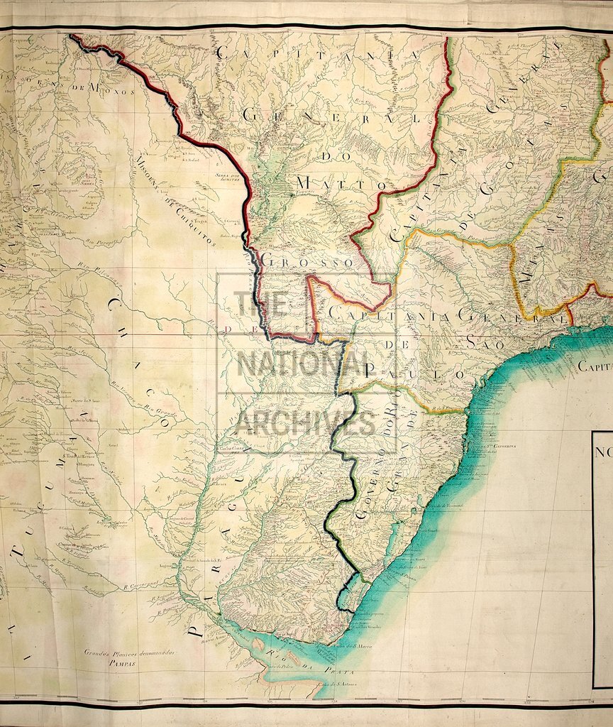
1760-1799
Reference:
MR 1/649 (sheet 1 of 2, middle third)
Creator:
Maps and plans extracted to rolled storage from records of various departments
Catalogue context:
Northern South America. 'Nova Carta da America Meridional': map on two sheets, together covering the continent from the Isthmus of Panama as far south as the River Plate (Río de la Plata) estuary. Scale: 1 inch to about 9 leagues. Signed by Luiz d'Albuquerque de Mello Pereira e Caceres. D'Albuquerque dedicated the map to the Prince of Brazil [i.e. Dom João (afterwards King John VI of Portugal and Brazil) who received this title in 1788].
Categories:
Maps and plans
Subjects:
Americas; Archives and libraries; Europe and Russia; Maps and plans
Topics:
International trade and affairs; Land and buildings
Period:
Empire And Industry
Copyright information:
Copyright clearance for publication is not required, except in the case of documents in third-party copyright.
Usage terms:
https://www.nationalarchives.gov.uk/documents/information-management/use-of-tna-materials.pdf