Penguin illustration on map of Arctic Ocean
Date:
1943
Reference:
MR 1/1007 (12)
Creator:
Maps and plans extracted to rolled storage from records of various departments
Catalogue context:
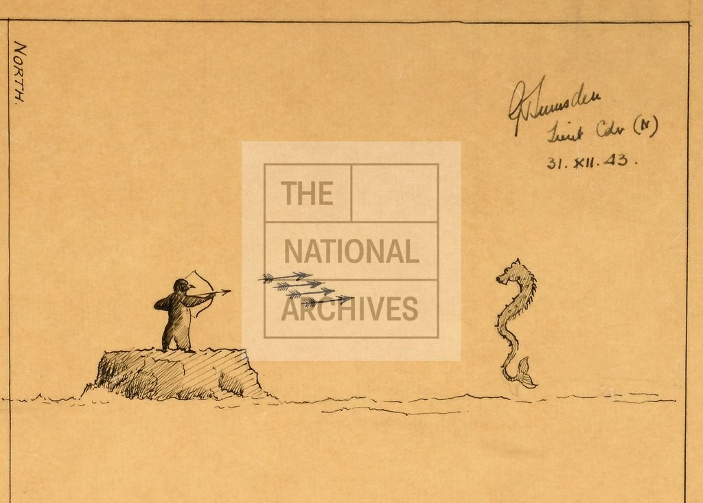
Arctic Ocean: Barents Sea. 23 track charts illustrating the interception and sinking of the Scharnhorst, 26 December 1943, including those of HM Ships Belfast, Duke of York, Jamaica, Matchless, Musketeer, Norfolk, Scorpion, Saumarez, Savage, Sheffield and Virago and HM Norwegian Ship Stord. Scales: (1), (3), (5), (7)-(8), (12), (14)-(17), (19)-(21) and (23) 1 inch to 2 miles; (6) 1 inch to 0.25 mile; (10) 1 inch to 1000 yards; (11) 1 inch to 1 mile; (2), (4), (9), (13), (18) and (22) no scale shown. Compass indicators. (12) includes a drawing of a penguin on a rock shooting arrows at a sea monster. Sheet sizes between 36 cm x 23.5 cm and 81.5 cm x 128.5 cm.
Categories:
Maps and plans
Subjects:
Archives and libraries; Caribbean; Maps and plans; Navy; Polar; Weapons
Topics:
International trade and affairs; Land and buildings; Military and war
Period:
Second World War
Copyright information:
Copyright clearance for publication is not required, except in the case of documents in third-party copyright.
Usage terms:
https://www.nationalarchives.gov.uk/documents/information-management/use-of-tna-materials.pdf