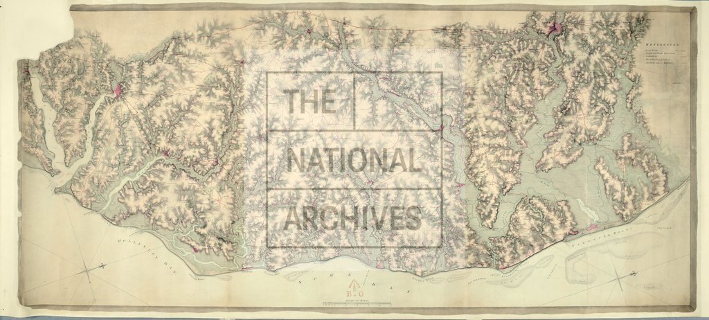
Coast between Winterton Ness and Felixstowe, Suffolk and Norfolk
Date:
1798
Reference:
MR 1/1415
Creator:
Maps and plans extracted to rolled storage from records of various departments
Catalogue context:
Suffolk and Norfolk. Map of the coast between Winterton Ness and Felixstowe, showing roads. Reference table. Scale: 1 inch to 1 mile. Compass indicator. Endorsed with the name of George Pink, Chief Military Surveyor.
Categories:
Maps and plans
Subjects:
Archives and libraries; Maps and plans
Topics:
Land and buildings
Period:
Empire And Industry
Copyright information:
Copyright clearance for publication is not required, except in the case of documents in third-party copyright.
Usage terms:
https://www.nationalarchives.gov.uk/documents/information-management/use-of-tna-materials.pdf