Alderney, Channel Islands
Date:
1831
Reference:
MR 1/1865 (right half)
Creator:
Maps and plans extracted to rolled storage from records of various departments
Catalogue context:
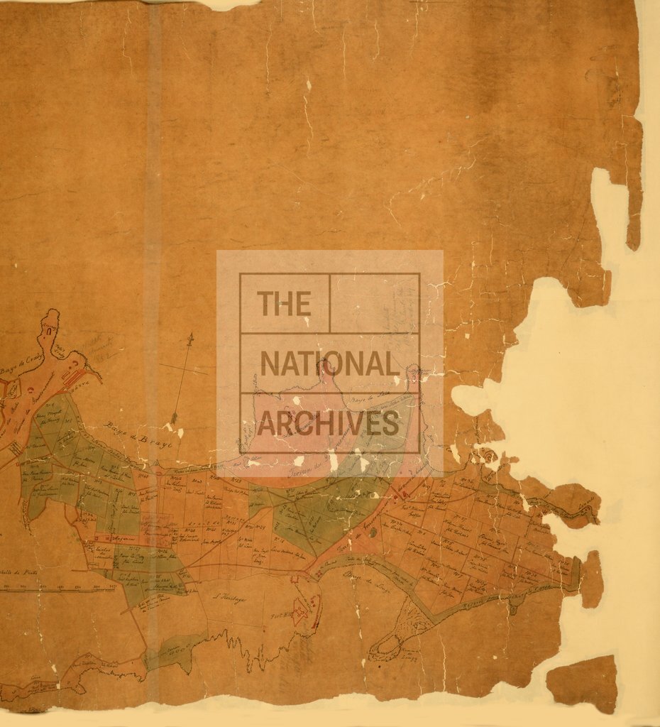
Channel Islands. Map of Alderney showing allotments of common lands, field names, numbered allotments, names of proprietors and roads. Scale: 1 inch to 5 chains. Compass indicator. Surveyed by W P Goodwin.
Categories:
Maps and plans; Overseas
Subjects:
Archives and libraries; Common land; Maps and plans
Topics:
Land and buildings
Period:
Empire And Industry
Copyright information:
Copyright clearance for publication is not required, except in the case of documents in third-party copyright.
Usage terms:
https://www.nationalarchives.gov.uk/documents/information-management/use-of-tna-materials.pdf