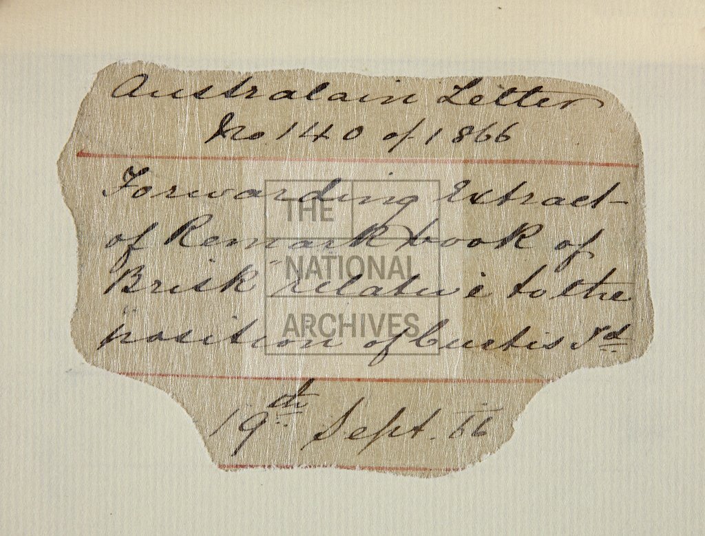
Chart of Wallis Island in the Wallis and Futuna Islands, now the Iles Wallis
Date:
1866
Reference:
MFQ 1/632 (11v)
Creator:
Maps and plans extracted to flat storage from records of various departments held at the Public Record Office, Kew
Catalogue context:
11 items extracted from ADM 1/5969 . Detailed descriptions are given at item level.
Categories:
Maps and plans; Overseas
Subjects:
Archives and libraries; Maps and plans
Topics:
Land and buildings
Period:
Victorians
Copyright information:
Copyright clearance for publication is not required, except in the case of documents in third-party copyright.
Usage terms:
https://www.nationalarchives.gov.uk/documents/information-management/use-of-tna-materials.pdf