King's County, Ireland (now County Offaly) [Chas I]
Date:
27-03-1625/30-01-1649
Reference:
MPF 1/268 (10)
Creator:
Maps and plans extracted to flat storage from records of the State Paper Office
Catalogue context:
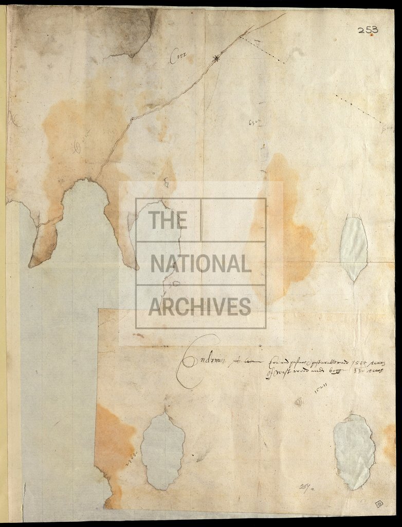
26 items extracted from SP 46/93 , folios 242-283. Ireland: King's County (now County Offaly). Rough sketch maps and plans: including Banagher (6 maps), Kilnagarnagh (4 maps), Clonlyon and Ferbane (2 maps), Moystown and Lumcloon (2 maps), and the baronies of Garrycastle, Ballyboy, Ballycowan, and Eglish, together with a number of places not clearly identified.
Categories:
Maps and plans; Overseas
Subjects:
Archives and libraries; Ireland; Maps and plans
Topics:
International trade and affairs; Land and buildings
Period:
Early Modern
Places:
Ireland
Copyright information:
Copyright clearance for publication is not required, except in the case of documents in third-party copyright.
Usage terms:
https://www.nationalarchives.gov.uk/documents/information-management/use-of-tna-materials.pdf