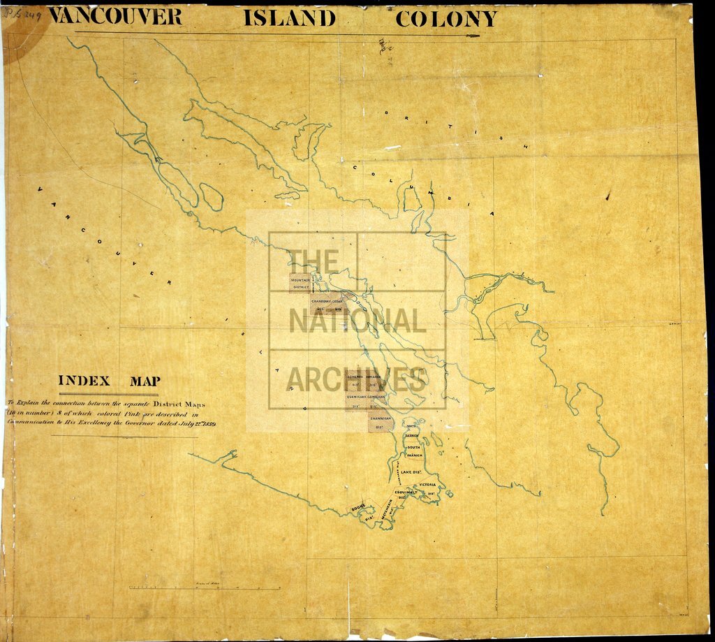
Index map, Vancouver Island
Date:
1859
Reference:
MPG 1/249
Creator:
Maps and plans extracted to flat storage from records of the Colonial Office
Catalogue context:
1 item extracted from CO 305/10 . Vancouver Island. Index map to MPG 1/241-MPG 1/248. Scale: 1 inch to 6 miles.
Categories:
Maps and plans; Overseas
Subjects:
Archives and libraries; International; Maps and plans
Topics:
International trade and affairs; Land and buildings
Period:
Victorians
Places:
Canada
Copyright information:
Copyright clearance for publication is not required, except in the case of documents in third-party copyright.
Usage terms:
https://www.nationalarchives.gov.uk/documents/information-management/use-of-tna-materials.pdf