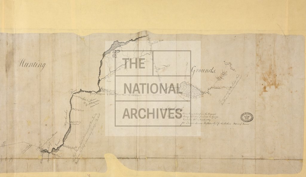
Boundary Line between Georgia and the Creek Indian Nation
Date:
1769
Reference:
MPG 1/337 (2 of 2)
Creator:
Maps and plans extracted to flat storage from records of the Colonial Office
Catalogue context:
1 item (enclosure to John Stuart's letter of 14 April 1769) extracted from CO 5/70 (ff 443-5). Sketch of the Boundary Line between Georgia and the Creek Indian Nation. A copy of the original done by Samuel Savory. 'Certified 31 March 1769, Pr. Bernard Romans Depy Survr. Genl. for the Southern District of America'.
Categories:
Maps and plans
Subjects:
Americas; Archives and libraries; Europe and Russia; International; Maps and plans
Topics:
International trade and affairs; Land and buildings
Period:
Empire And Industry
Copyright information:
Copyright clearance for publication is not required, except in the case of documents in third-party copyright.
Usage terms:
https://www.nationalarchives.gov.uk/documents/information-management/use-of-tna-materials.pdf