Kootenay River, USA, Canada
Date:
1861
Reference:
MPG 1/409
Creator:
Maps and plans extracted to flat storage from records of the Colonial Office
Catalogue context:
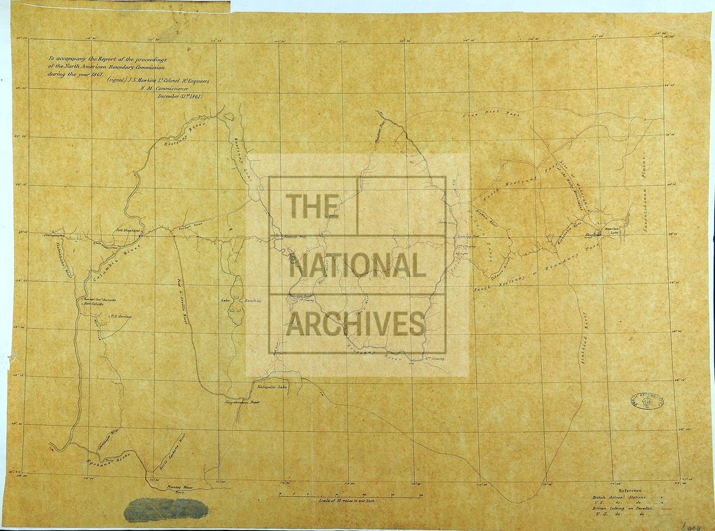
1 item (enclosure to the Report of the proceedings of the North American Boundary Commission during the year 1861) extracted from CO 6/34 . North America. Map of parts of British Columbia, Alberta and the States of Washington, Idaho and Montana, showing place-names, rivers, lakes, settlements, passes, crossings and ferries. Reference table to British and United States astronomical stations. Scale: 1 inch to 10 miles. Signed by J S Hawkins Lt Col RE, the British Commissioner, December 31st. 1861.
Categories:
Maps and plans; Overseas
Topics:
Land and buildings
Period:
Victorians
Places:
Canada
Copyright information:
Copyright clearance for publication is not required, except in the case of documents in third-party copyright.
Usage terms:
https://www.nationalarchives.gov.uk/documents/information-management/use-of-tna-materials.pdf