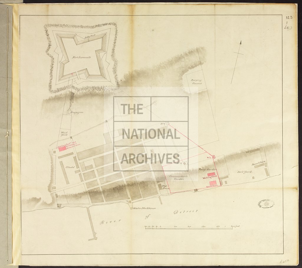
Plan of Detroit and Fort Lernoult [L'Arnaud]
Date:
1792
Reference:
MPG 1/450
Creator:
Maps and plans extracted to flat storage from records of the Colonial Office
Catalogue context:
1 item (enclosure to Lieutenant Governor Clarke's despatch of 5 September 1792) extracted from CO 42/91 . Michigan. Plan of Detroit and Fort Lernoult [L'Arnaud]. The plan names buildings and gardens. Scale: 1 inch to 120 feet. Compass indicator.
Categories:
Maps and plans
Subjects:
Archives and libraries; International; Maps and plans
Topics:
International trade and affairs; Land and buildings
Period:
Empire And Industry
Copyright information:
Copyright clearance for publication is not required, except in the case of documents in third-party copyright.
Usage terms:
https://www.nationalarchives.gov.uk/documents/information-management/use-of-tna-materials.pdf