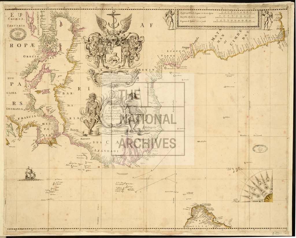
Africa with arms of Royal Africa company, John Seller late 1700s
Date:
1660-1699
Reference:
MPG 1/567
Creator:
Maps and plans extracted to flat storage from records of the Colonial Office
Catalogue context:
1 item extracted from CO 268/1 . 'Chart of the coasts from the Landsend of England to Cape Bona Esperança [Cape of Good Hope]' [including the Mediterranean]. Dedicated in Latin to the Governor and others of the Africa Company. Scale: 1 inch to about 300 miles. [By] John Seller, Hydrographer to the King. This map was originally the frontispiece of CO 268/1.
Categories:
Maps and plans; Overseas
Subjects:
Africa; Archives and libraries; International; Maps and plans
Topics:
International trade and affairs; Land and buildings
Period:
Early Modern
Places:
Africa
Copyright information:
Copyright clearance for publication is not required, except in the case of documents in third-party copyright.
Usage terms:
https://www.nationalarchives.gov.uk/documents/information-management/use-of-tna-materials.pdf