Yorkshire District rail map
Date:
1900
Reference:
RAIL 1032/181
Creator:
Pre-nationalisation railway companies, pre-nationalisation canal and related companies, the London Passenger Transport Board, and successors
Catalogue context:
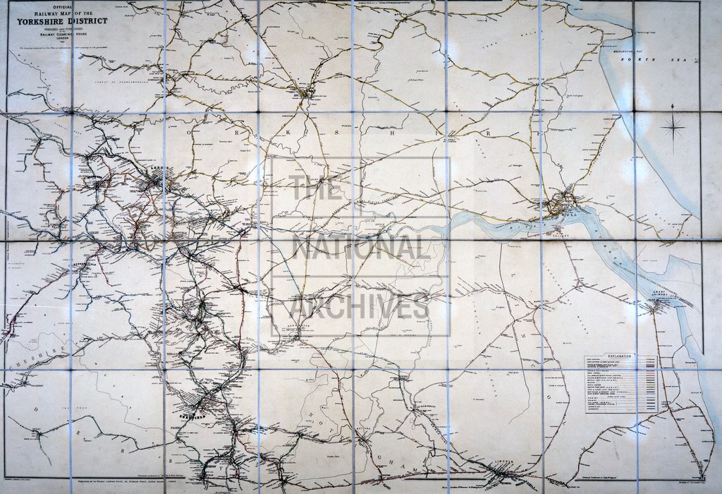
‘Official Railway Map of the Yorkshire District': showing distances between stations and junctions. Includes table of running powers and working arrangements. No scale shown. Engraved and lithographed by J P & W R Emslie & Sons. Prepared and published at the Railway Clearing House.
Categories:
Maps and plans
Subjects:
Maps and plans; Railways
Topics:
Transport and travel; Land and buildings
Period:
Victorians
Places:
Yorkshire
Copyright information:
The National Archives understands this item to be the copyright of the British Transport Commission and British Railways Board. It may not be reproduced except with the permission of the copyright owner. Contact details for seeking that permission can be found in the Usage terms.
Usage terms:
https://www.nationalarchives.gov.uk/documents/information-management/use-of-tna-materials.pdf