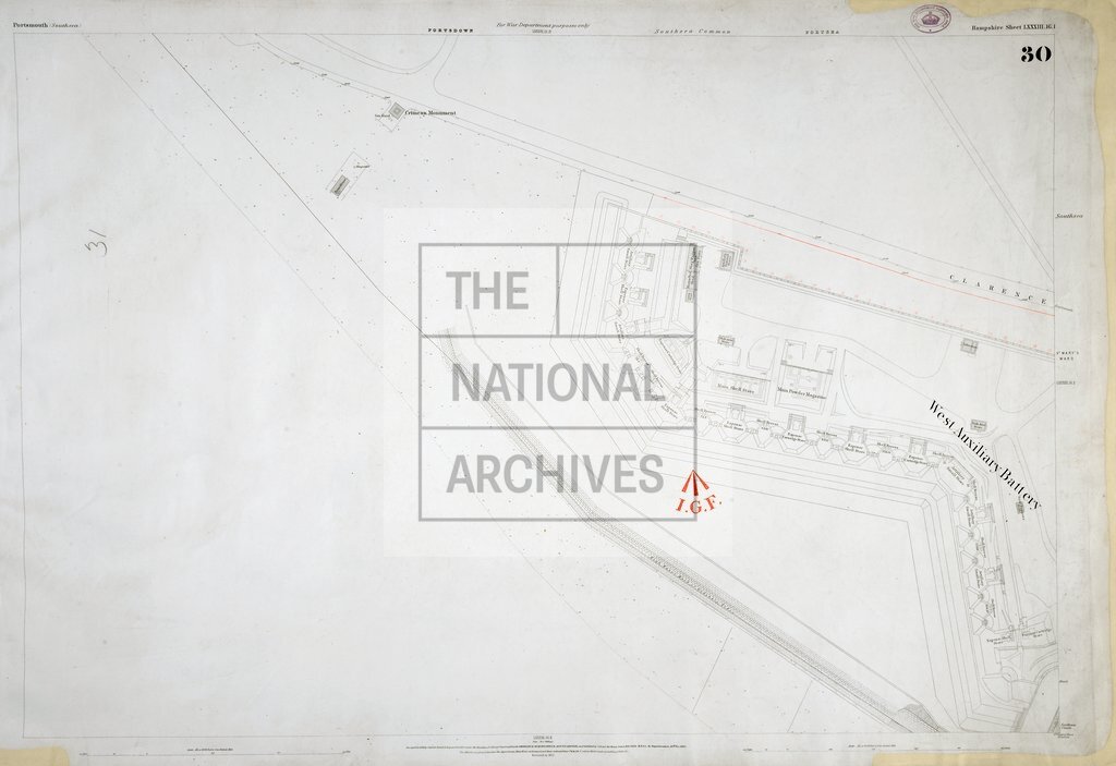
Ordnance Survey map Portsmouth
Date:
1856-1875
Reference:
WO 78/2315 (30)
Creator:
War Office, Armed Forces, Judge Advocate General, and related bodies
Catalogue context:
33 Ordnance Survey maps of Portsmouth, Southsea, Gosport, and environs, Hampshire. Detailed descriptions are given at item level.
Categories:
Maps and plans
Subjects:
Armed Forces (General Administration); Army; Maps and plans
Topics:
Land and buildings; Military and war
Period:
Victorians
Copyright information:
Copyright clearance for publication is not required, except in the case of documents in third-party copyright.
Usage terms:
https://www.nationalarchives.gov.uk/documents/information-management/use-of-tna-materials.pdf