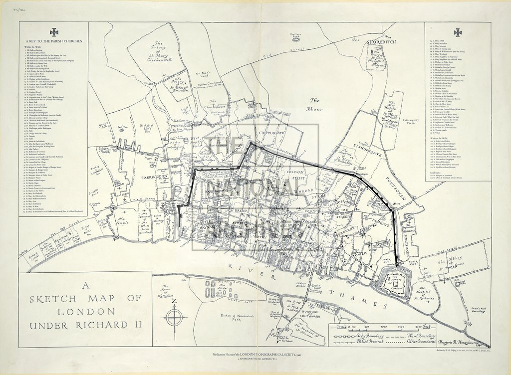
Sketch map of London under Richard II
Date:
1940-1960
Reference:
ZMAP 4/15
Creator:
Maps and plans formerly held by the Public Record Office Library
Catalogue context:
Publication No 93. 'A Sketch Map of London Under Richard II', redrawn W.H. Godfrey & W.G. Prosser. London Topographical Society, 1960
Categories:
Maps and plans
Subjects:
Maps and plans
Topics:
Land and buildings
Period:
Second World War
Places:
London
Copyright information:
Copyright clearance for publication is not required, except in the case of documents in third-party copyright.
Usage terms:
https://www.nationalarchives.gov.uk/documents/information-management/use-of-tna-materials.pdf