Great Central Railway and its Connections c1912
Date:
1912
Reference:
RAIL 1030/225
Creator:
Pre-nationalisation railway companies, pre-nationalisation canal and related companies, the London Passenger Transport Board, and successors
Catalogue context:
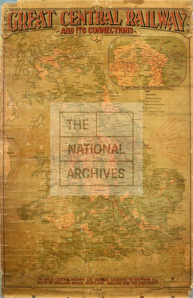
‘Great Central Railway and its Connections’: map also showing shipping routes and distances from Grimsby. Scale: 1 inch to 123 miles. Printed by Geographia Ltd, 55 Fleet Street, London EC4. Inset: ‘North Central England on enlarged scale'. A note in a panel states: ‘The Great Central Railway are general carriers to and from all parts of England, Wales, Scotland, Ireland and the Continent. Sam Jay, General Manager’.
Categories:
Transport and travel
Subjects:
Ireland; Maps and plans; Railways; Transport management
Topics:
International trade and affairs; Land and buildings; Transport and travel
Period:
Early 20th Century
Copyright information:
The National Archives understands this item to be the copyright of the British Transport Commission and British Railways Board. It may not be reproduced except with the permission of the copyright owner. Contact details for seeking that permission can be found in the Usage terms.
Usage terms:
https://www.nationalarchives.gov.uk/documents/information-management/use-of-tna-materials.pdf