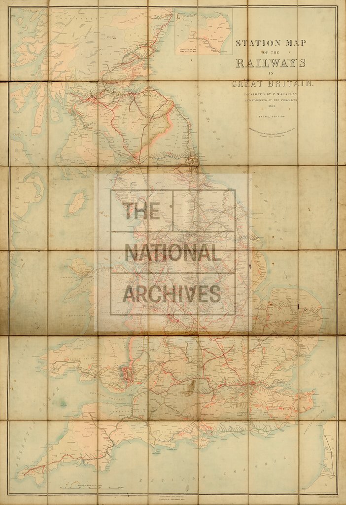
Z Macaulay's station map of the railways in Great Britain
Date:
1854
Reference:
RAIL 1031/53
Creator:
Pre-nationalisation railway companies, pre-nationalisation canal and related companies, the London Passenger Transport Board, and successors
Catalogue context:
'Station Map of the Railways in Great Britain. Designed by Z Macaulay and corrected by the Companies'. Scale: 1 inch to 10 miles. Engraved by James Welland, 11 Pembroke Terrace, Caledonian Road. Third edition, published by Smith and Ebbs, and by Groombridge and Sons. Stamped: 'Railway Clearing House Distances, Maps & Diagrams'.
Categories:
Transport and travel
Subjects:
Maps and plans; Railways; Transport management
Topics:
Land and buildings; Transport and travel
Period:
Victorians
Places:
Great Britain
Copyright information:
The National Archives understands this item to be the copyright of the British Transport Commission and British Railways Board. It may not be reproduced except with the permission of the copyright owner. Contact details for seeking that permission can be found in the Usage terms.
Usage terms:
https://www.nationalarchives.gov.uk/documents/information-management/use-of-tna-materials.pdf