Peninsula of Sierra Leone with list of liberated villages c. early 19th century.tif
Reference:
MR 1/148/7
Creator:
Maps and plans extracted to rolled storage from records of various departments
Catalogue context:
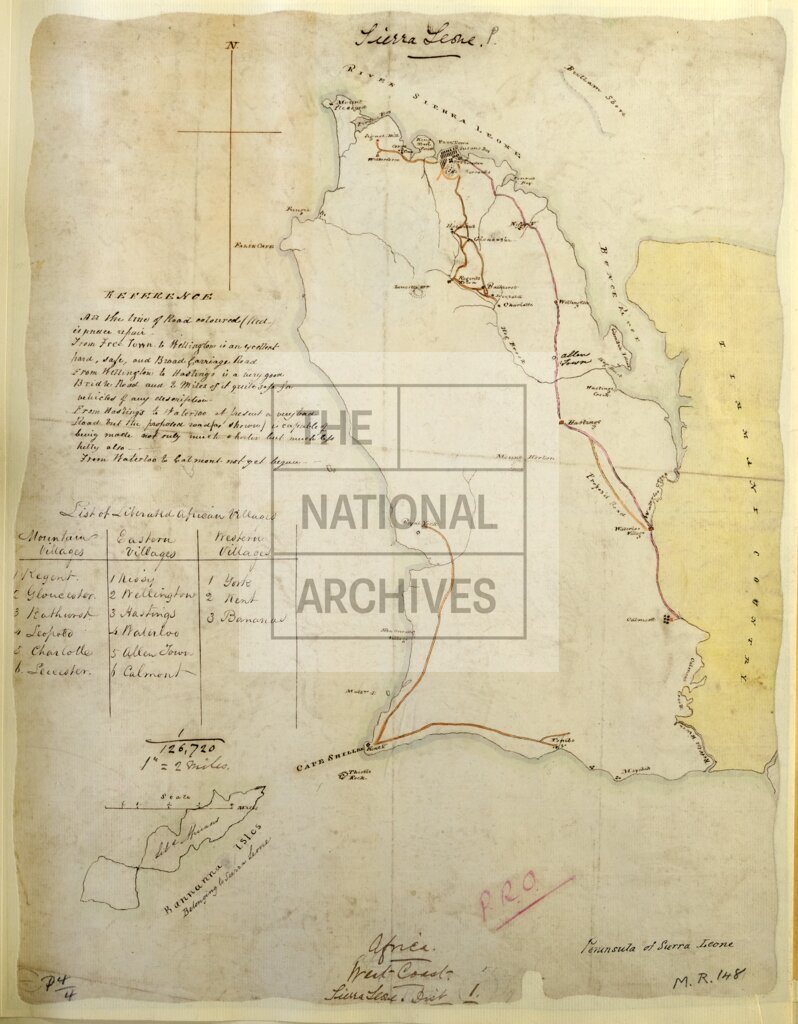
'Peninsula of Sierra Leone': map showing towns, villages and roads. Reference table listing liberated villages; notes on the condition of roads. Compass indicator.
Subjects:
Archives and libraries; Maps and plans; Africa
Copyright information:
Copyright clearance for publication is not required, except in the case of documents in third-party copyright.
Usage terms:
https://www.nationalarchives.gov.uk/documents/information-management/use-of-tna-materials.pdf